![](/images/other/stat-length.png)
![Tocht Te voet San Lorenzo de El Escorial - Senda de los Tesoros de Abantos - Photo](https://media.geolcdn.com/t/1900/400/21e19b6b-380a-4dd8-88ef-88c810faa471.jpeg&format=pjpeg&maxdim=2)
Senda de los Tesoros de Abantos
SityTrail - itinéraires balisés pédestres
Tous les sentiers balisés d’Europe GUIDE+
![Lengte](/images/other/stat-length.png)
Lengte
4,8 km
![Max. hoogte](https://static1.geolcdn.com/siteimages/upload/files/1508320355ic_sort_altitude_max_24dp.png)
Max. hoogte
1349 m
![Positief hoogteverschil](https://static1.geolcdn.com/siteimages/upload/files/1508320355ic_sort_den_pos_24dp.png)
Positief hoogteverschil
261 m
![Km-Effort](/images/other/stat-length.png)
Km-Effort
8,2 km
![Min. hoogte](https://static1.geolcdn.com/siteimages/upload/files/1508320355ic_sort_altitude_min_24dp.png)
Min. hoogte
1083 m
![Negatief hoogteverschil](https://static1.geolcdn.com/siteimages/upload/files/1508320355ic_sort_den_neg_24dp.png)
Negatief hoogteverschil
252 m
![Boucle](https://static1.geolcdn.com/siteimages/upload/files/16400158638029165_repeat_loop_refresh_sync_direction_icon.png)
Boucle
Ja
Markering
Datum van aanmaak :
2022-02-14 15:29:12.404
Laatste wijziging :
2022-02-14 15:29:12.404
![Te voet](https://static1.geolcdn.com/sitytour/trail-icons/100.png)
1h52
Moeilijkheid : Gemakkelijk
![Scan deze QR-code om de tocht te openen in de SityTrail-applicatie](https://capi.geolives.com/qq0zvz2zws4bq2lad0pu/sitytour/trails/3110224/qr.png?size=200)
Gratisgps-wandelapplicatie
Over ons
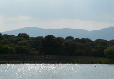
Tocht Te voet van 4,8 km beschikbaar op Comunidad de Madrid, Onbekend, San Lorenzo de El Escorial. Deze tocht wordt voorgesteld door SityTrail - itinéraires balisés pédestres.
Beschrijving
Website: http://sendasdemadrid.es/sendas/ficheros/pdf/Folleto_Senda_54_Tesoros_Abantos_2012.pdf
Plaatsbepaling
Land:
Spain
Regio :
Comunidad de Madrid
Departement/Provincie :
Onbekend
Gemeente :
San Lorenzo de El Escorial
Locatie:
Unknown
Vertrek:(Dec)
Vertrek:(UTM)
402299 ; 4494362 (30T) N.
Opmerkingen
Wandeltochten in de omgeving
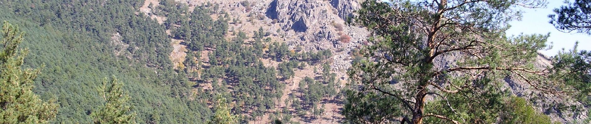
![Tocht Te voet Guadarrama - [SL-M 44006] Bosque plateado - Photo](https://media.geolcdn.com/t/375/260/30fdfff7-6c5a-4a51-b389-d27391829f84.jpeg&format=jpg&maxdim=2)
![Te voet Te voet](https://static1.geolcdn.com/sitytour/trail-icons/100.png)
[SL-M 44006] Bosque plateado
Te voet
Gemakkelijk
Guadarrama,
Comunidad de Madrid,
Onbekend,
Spain
![](/images/other/stat-length.png)
11,6 km | 16,6 km-effort
3h 46min
![](https://static1.geolcdn.com/siteimages/upload/files/16400158638029165_repeat_loop_refresh_sync_direction_icon.png)
Ja
![Tocht Te voet Collado Villalba - CV 8 - Camino por los orígenes romanos - Photo](https://media.geolcdn.com/t/375/260/01e30bcd-d668-4101-904f-3c710b8d1203.jpeg&format=jpg&maxdim=2)
![Te voet Te voet](https://static1.geolcdn.com/sitytour/trail-icons/100.png)
CV 8 - Camino por los orígenes romanos
Te voet
Gemakkelijk
Collado Villalba,
Comunidad de Madrid,
Onbekend,
Spain
![](/images/other/stat-length.png)
8,4 km | 10,3 km-effort
2h 20min
![](https://static1.geolcdn.com/siteimages/upload/files/16400158638029165_repeat_loop_refresh_sync_direction_icon.png)
Neen
![Tocht Te voet Collado Villalba - CV 6 - Camino por el Señorío del Real de Manzanares - Photo](https://media.geolcdn.com/t/375/260/6f88bb8d-ef70-4a32-83e8-15e006e2c281.jpeg&format=jpg&maxdim=2)
![Te voet Te voet](https://static1.geolcdn.com/sitytour/trail-icons/100.png)
CV 6 - Camino por el Señorío del Real de Manzanares
Te voet
Gemakkelijk
Collado Villalba,
Comunidad de Madrid,
Onbekend,
Spain
![](/images/other/stat-length.png)
6,6 km | 8,5 km-effort
1h 56min
![](https://static1.geolcdn.com/siteimages/upload/files/16400158638029165_repeat_loop_refresh_sync_direction_icon.png)
Neen
![Tocht Te voet Collado Villalba - CV 4 - Camino entre las dehesas - Photo](https://media.geolcdn.com/t/375/260/06747bae-544c-4435-9761-7c78b993a0e3.jpeg&format=jpg&maxdim=2)
![Te voet Te voet](https://static1.geolcdn.com/sitytour/trail-icons/100.png)
CV 4 - Camino entre las dehesas
Te voet
Gemakkelijk
Collado Villalba,
Comunidad de Madrid,
Onbekend,
Spain
![](/images/other/stat-length.png)
6 km | 7,3 km-effort
1h 39min
![](https://static1.geolcdn.com/siteimages/upload/files/16400158638029165_repeat_loop_refresh_sync_direction_icon.png)
Neen
![Tocht Te voet Collado Villalba - CV 3 - Camino por la Cañada Real Segoviana - Photo](https://media.geolcdn.com/t/375/260/ce60b27a-5ead-4b5b-bd7f-d4c355f12d94.jpeg&format=jpg&maxdim=2)
![Te voet Te voet](https://static1.geolcdn.com/sitytour/trail-icons/100.png)
CV 3 - Camino por la Cañada Real Segoviana
Te voet
Gemakkelijk
Collado Villalba,
Comunidad de Madrid,
Onbekend,
Spain
![](/images/other/stat-length.png)
7,1 km | 8,2 km-effort
1h 51min
![](https://static1.geolcdn.com/siteimages/upload/files/16400158638029165_repeat_loop_refresh_sync_direction_icon.png)
Neen
![Tocht Te voet Collado Villalba - CV 2 - Camino de las Ventas de El Escorial - Photo](https://media.geolcdn.com/t/375/260/4b03308d-45c0-4174-a668-227a928ea3c2.jpeg&format=jpg&maxdim=2)
![Te voet Te voet](https://static1.geolcdn.com/sitytour/trail-icons/100.png)
CV 2 - Camino de las Ventas de El Escorial
Te voet
Gemakkelijk
Collado Villalba,
Comunidad de Madrid,
Onbekend,
Spain
![](/images/other/stat-length.png)
6,4 km | 7 km-effort
1h 36min
![](https://static1.geolcdn.com/siteimages/upload/files/16400158638029165_repeat_loop_refresh_sync_direction_icon.png)
Neen
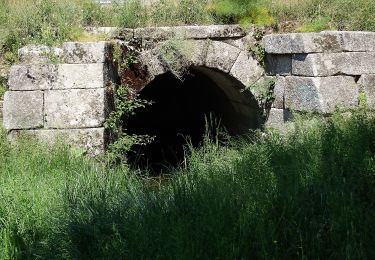
![Tocht Te voet Guadarrama - [SL-M 44007] En busca del agua - Photo](https://media.geolcdn.com/t/375/260/d81d9052-447e-4b4f-bfc6-7ec75da99cda.jpeg&format=jpg&maxdim=2)
![Te voet Te voet](https://static1.geolcdn.com/sitytour/trail-icons/100.png)
[SL-M 44007] En busca del agua
Te voet
Gemakkelijk
Guadarrama,
Comunidad de Madrid,
Onbekend,
Spain
![](/images/other/stat-length.png)
4,8 km | 6,4 km-effort
1h 27min
![](https://static1.geolcdn.com/siteimages/upload/files/16400158638029165_repeat_loop_refresh_sync_direction_icon.png)
Ja
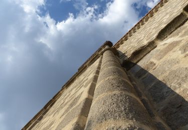
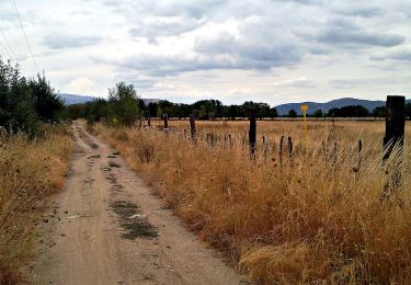
![Tocht Te voet Guadarrama - [SL-M 44005] Por las trincheras - Photo](https://media.geolcdn.com/t/375/260/5e85d4f6-207d-476d-b255-4973512e65f9.jpeg&format=jpg&maxdim=2)
![Te voet Te voet](https://static1.geolcdn.com/sitytour/trail-icons/100.png)
[SL-M 44005] Por las trincheras
Te voet
Gemakkelijk
Guadarrama,
Comunidad de Madrid,
Onbekend,
Spain
![](/images/other/stat-length.png)
5,3 km | 7,9 km-effort
1h 47min
![](https://static1.geolcdn.com/siteimages/upload/files/16400158638029165_repeat_loop_refresh_sync_direction_icon.png)
Ja
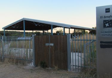
![Tocht Te voet Guadarrama - [SL-M 44004] Vías Pecuarias - Photo](https://media.geolcdn.com/t/375/260/87c13030-23c9-4432-b2dc-776b4b3d18a0.jpeg&format=jpg&maxdim=2)
![Te voet Te voet](https://static1.geolcdn.com/sitytour/trail-icons/100.png)
[SL-M 44004] Vías Pecuarias
Te voet
Gemakkelijk
Guadarrama,
Comunidad de Madrid,
Onbekend,
Spain
![](/images/other/stat-length.png)
8,7 km | 11,3 km-effort
2h 34min
![](https://static1.geolcdn.com/siteimages/upload/files/16400158638029165_repeat_loop_refresh_sync_direction_icon.png)
Ja